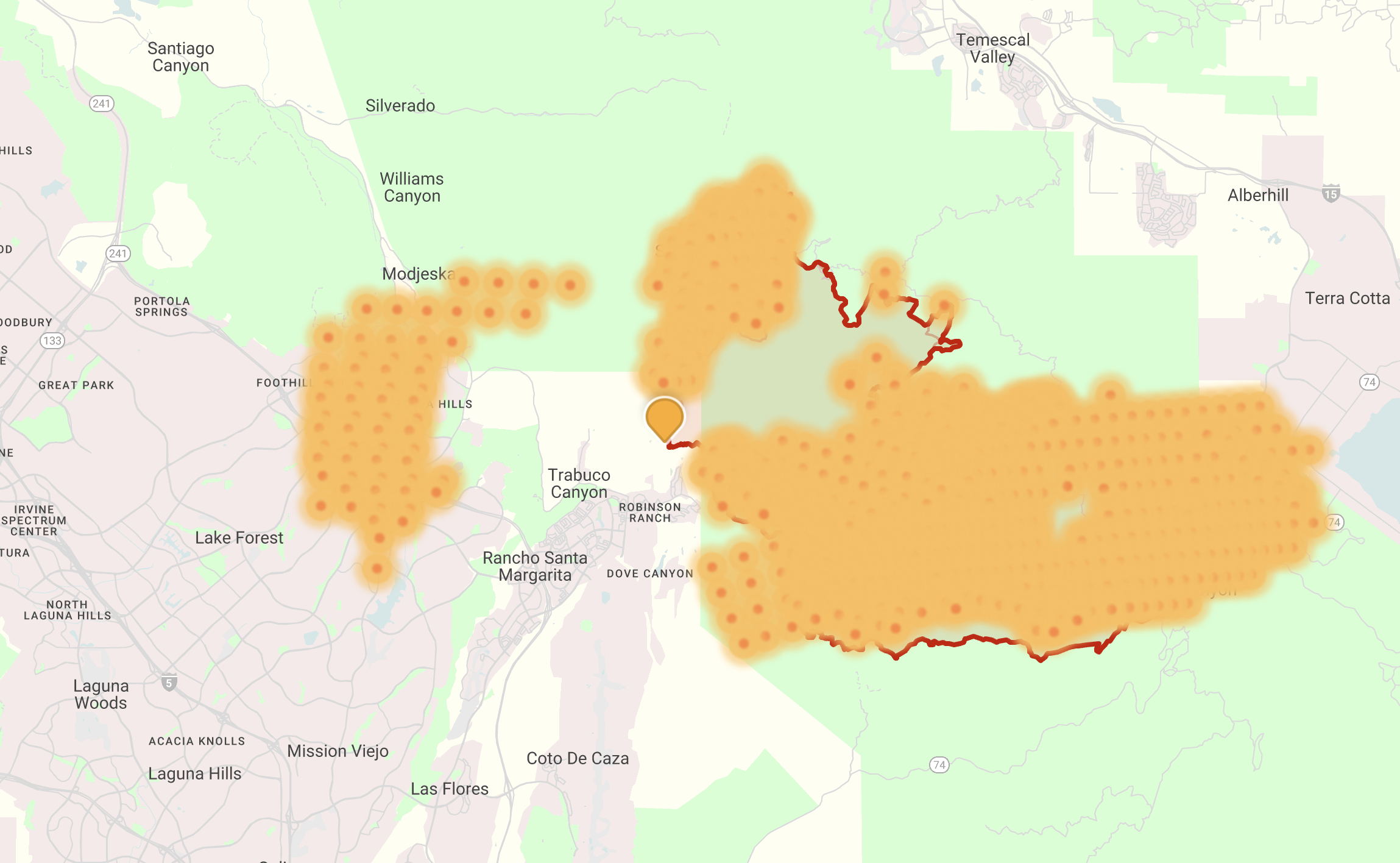
Prepared September 11, 2024 Cornea is pleased to introduce a new product fully intended for public use. Cornea is pleased to introduce a new product fully intended for public use: Wildfire Explorer. Wildfire Explorer is supported by a USDA grant and was developed entirely in-house by Cornea. Wildfire Explorer finds, analyses and publishes the most important wildfire data in a way that ordinary residents and citizens can easily understand. We believe our data represents the most recent, most accurate, and most comprehensive wildfire information available, anywhere. Wildfire Explorer obtains data from a number of official and vetted sources, including the North American Interagency Fire Center (NIFC), Inciweb, CalFIRE (California’s independent fire agency), NASA FIRMS, AirNow, and the National Weather Service. Because of the variety of data sources included, Wildfire Explorer offers an uniquely “fresh” view of wildfires. In particular, the combination of heat near-realtime “hotspots” discovered by satellites, combined with the manmade fire “perimeters” that are less frequently updated, offers users a fuller picture of active wildfires when compared to our peer wildfire products. Further, Wildfire Explorer includes all known fires not only in The Continental United States, but also in Alaska, Puerto Rico, Hawaii and Guam — locales that are far too often neglected in fire and disaster planning. While Wildfire Explorer is made for public consumption, it is also launching with premium services available to governmental and jurisdictional bodies, that includes predictive capabilities. These “predictions” rely on advanced machine learning algorithms that can accurately forecast fire spread, burn likelihood, and other key metrics. Already, we’ve had a tremendous response from the public, and we urge our existing partners and friends to check it out: Wildfire Explorer.