Beacon
Advanced GIS for Fire & Smoke Behavior Modeling to Protect Our Communities & Assets

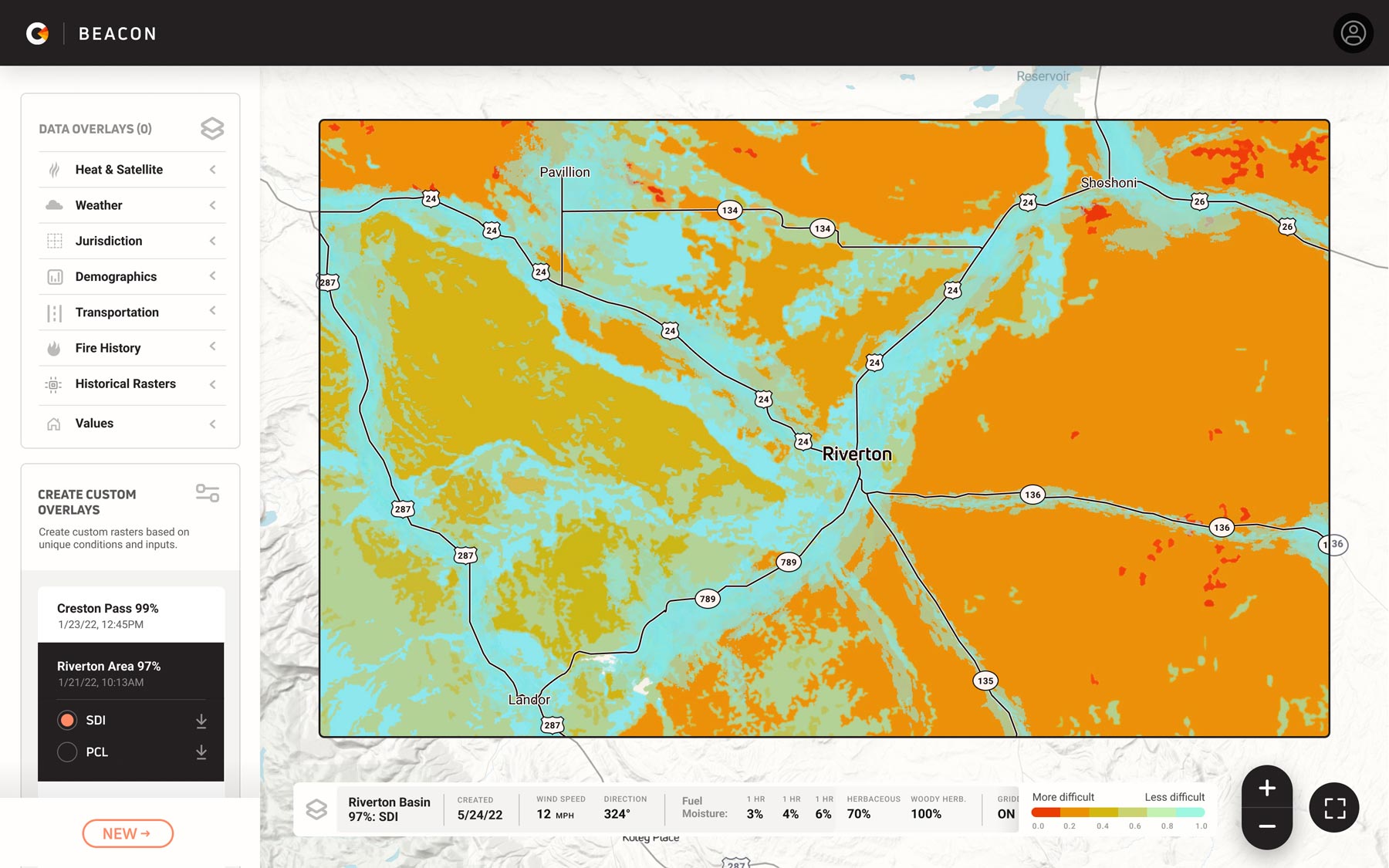
Cornea’s Beacon computes critical fire behavior and fighting metrics with real time data.
It provides a GIS interface for visualization alongside an expansive set of data overlays such as population density and key infrastructure to help firefighters strategize for planned burns, respond to active fire incidents, and safeguard our communities and critical ecological resources.
The problem
Fire managers and incident teams routinely risk their lives battling wildfires, often using outdated tools instead of modern technology solutions.

Land managers are now responsible for improving forest health across millions of acres after 100 years of fire suppression policies.
To do so, they rely on prescribed fire and other fuel management activities, but implementing these treatments at scale presents significant challenges—including operational risks and community resistance.
To plan effective treatments and ensure safety, practitioners need advanced, high-fidelity fire and smoke behavior models that reflect current, real-time conditions.
These tools are essential for informed decision-making and resource management throughout the entire fire management cycle—pre-fire prevention, active fire response, and post-fire recovery.
The future of wildfire mitigation depends on equipping fire managers with the right technology to safely and efficiently manage risks while protecting communities and landscapes.
The Beacon Advantage

Custom inputs.
Customizable inputs for fuels, landscape, weather, and roads/trails.

Easy Interface
Intuitive GIS interface for easy fire and smoke behavior modeling at your fingertips.

Comprehensive
Comprehensive data overlays for deeper insights and smarter decision-making.

Lightning Speed
50X faster processing than industry standards, delivering detailed pyrome reports in under an hour.

Highly Accessible
Fully accessible platform on web, tablet, and mobile for seamless use anywhere.
The process

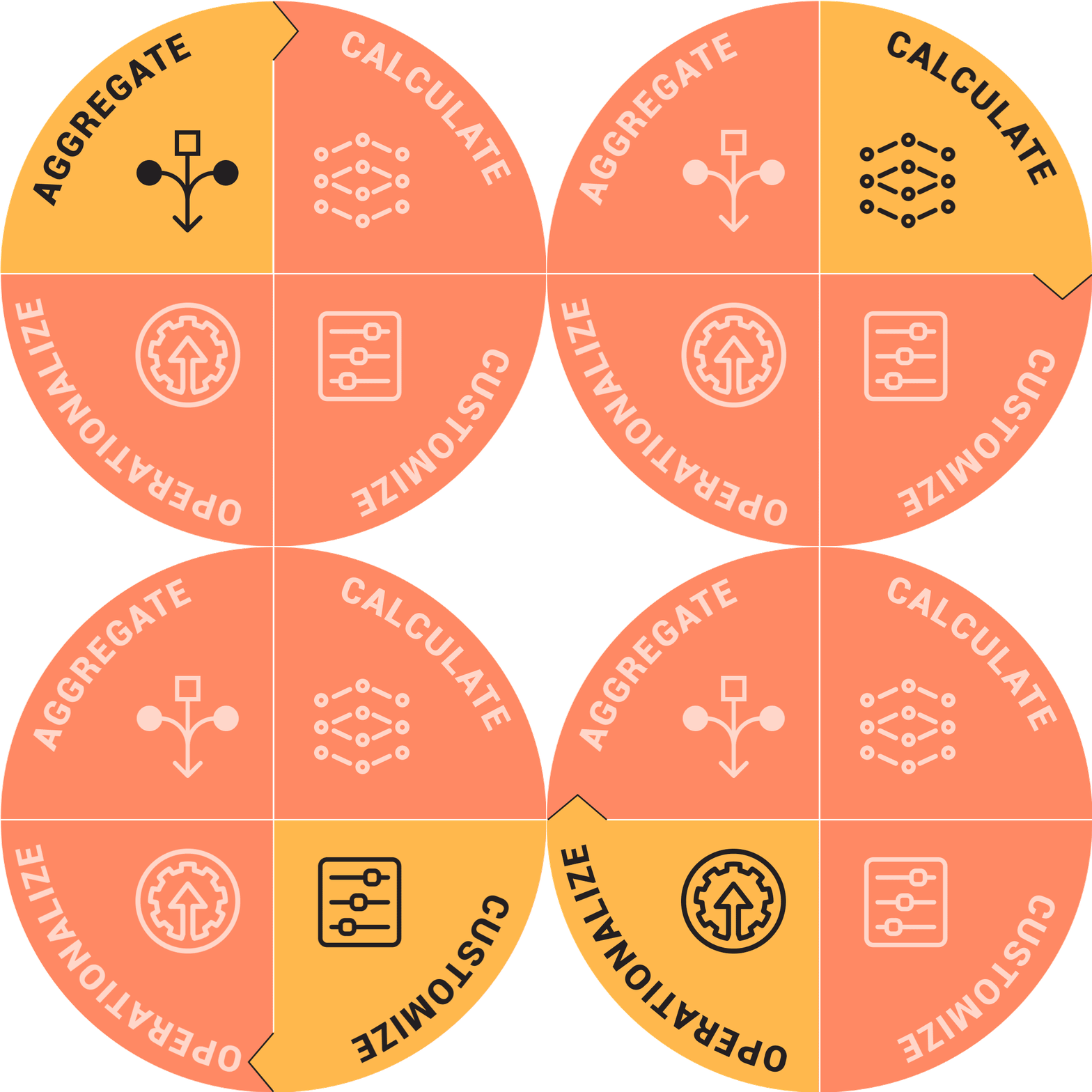
1. Aggregate
We compile terabytes of landscape, climate, fuels, and incident data that build a foundation for our machine learning models.
2. Calculate
Deep learning models and hyperparameter tuning for real-time results at scale.
3. Customize
Through the development of a flexible and modular architecture built around feature engineering, we enable users to add specific data for customized calculations.
4. Operationalize
Produce near-real-time, contextualized insights in a graphical format that is simple to decipher and incorporate into critical decision making processes.