LandMapper
Solutions for Pre-Fire Land Resilience
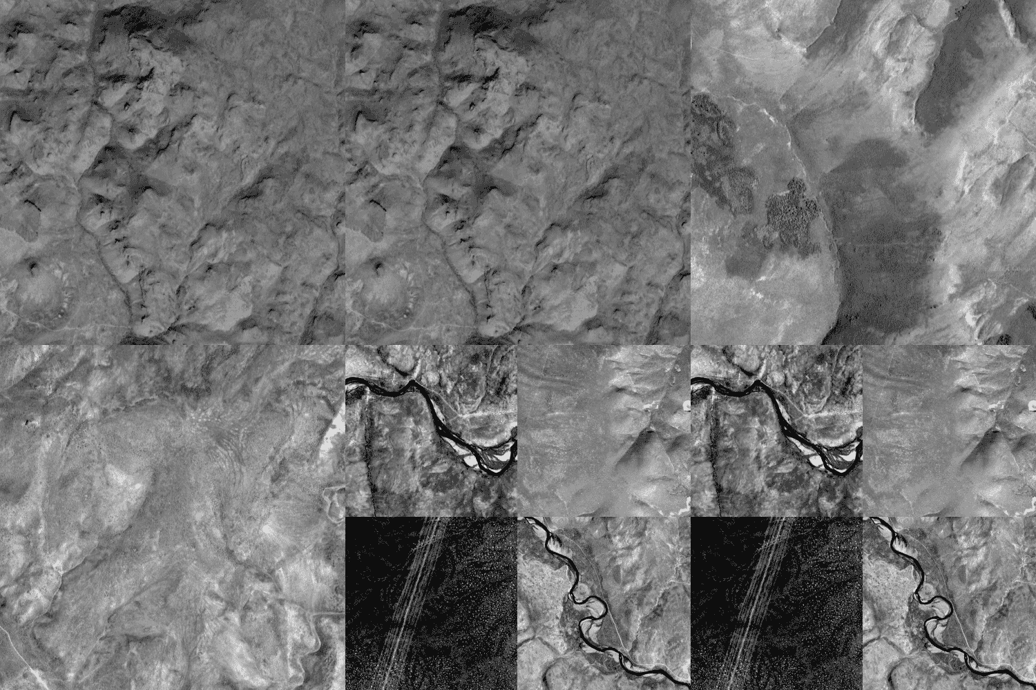
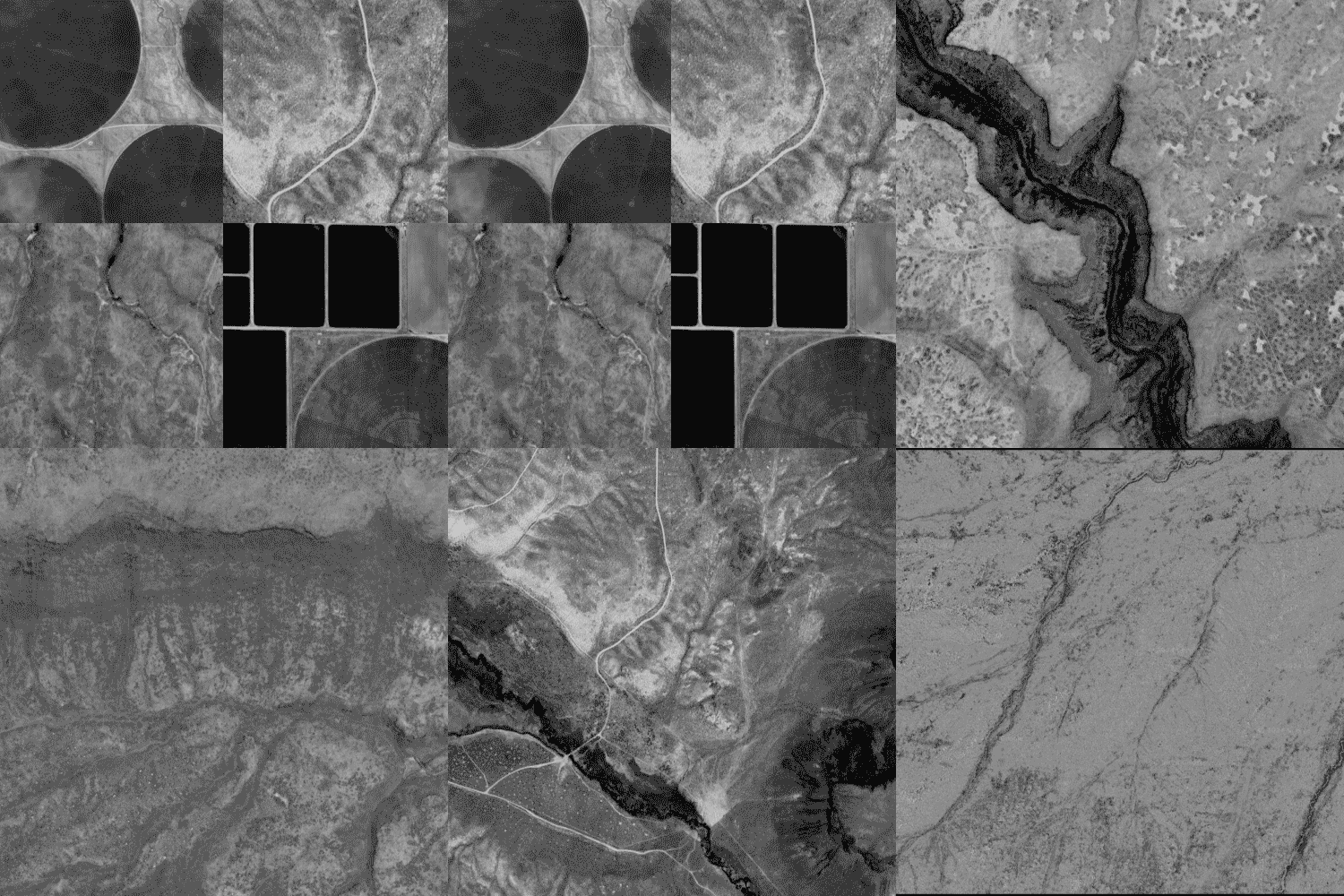
Cornea’s LandMapper is a remote sensed data service for real time, accurate land maps to optimize land management and resilience.
It provides land managers with democratized and turnkey access to high impact remote sensed technology and advanced AI-based modeling.
The problem
Land Management at Scale
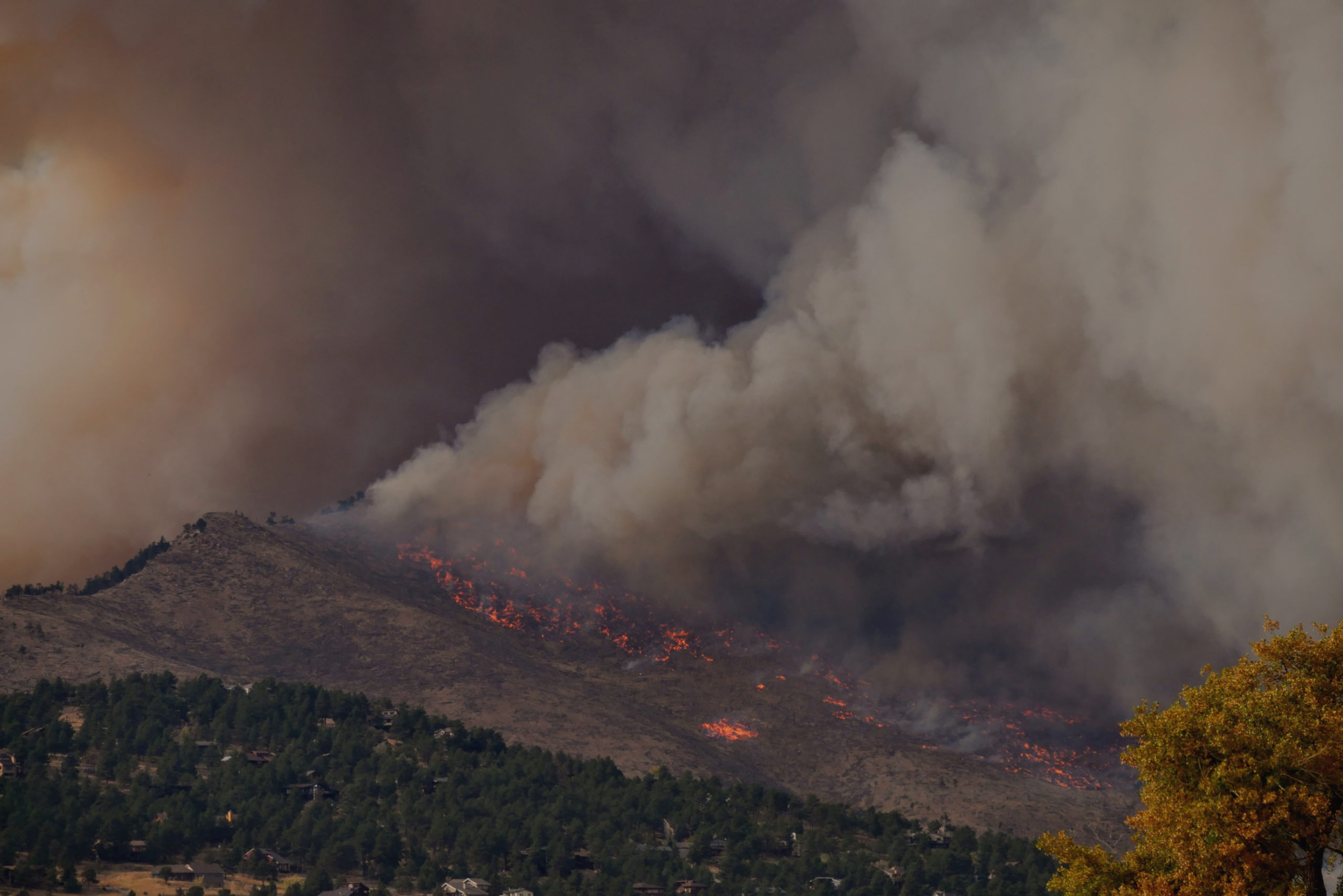
The average acres burned per year has skyrocketed from 2.1 million in the 1980s to 7.6 million today, a 370% increase, while federal suppression costs have surged by 10x to over $2B.
Experts agree that restorative land management—prescribed burns, mechanical thinning, and smarter fuel management—is critical to reversing this trend.
Land managers need real-time maps to efficiently monitor land at scale for fuel-related issues like insect infestations and forest changes, while accurately planning prescribed burns to maximize good burn days so they can spend less time and resources manually surveying land for treatment.
Remote sensing technology (satellites, drones, etc.) offers the near real-time data needed for accurate land maps, but accessing and processing this data can be overwhelming.
Developing AI/ML models and building the necessary infrastructure for effective land mapping adds further complexity.
The Solution
LandMapper addresses practitioners’ needs to understand their land at scale.
Get Imagery
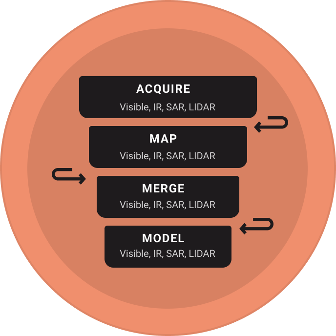
Get turnkey access to high resolution remote sensed imagery from satellites, drones, UAVs, etc. across data types (Visible, IR, SAR, LIDAR) to view and compare for land management tasks such as infestations, brush growth, and post-fire/incident damage assessment.
Get the Details
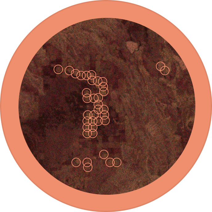
Understand your land at scale and real-time for the characteristics you care about including crop inventories, fuel mapping, air quality, and more.
Aggregate sources
Aggregate your data across additional data sources for one unified view of your land.